Mist Trail to Vernal & Nevada Falls - Yosemite National Park

Waterfall season in Yosemite National Park is one of the most exciting times to be in the park, and this week I’m thrilled to partner with Visit Yosemite | Madera County to share one of the most iconic and epic waterfall hikes in the Sierra Nevada. Join me as we climb the Mist Trail along the Merced River to Vernal and Nevada Falls.

Vernal Fall from the Mist Trail in Yosemite

Vernal Fall rainbow along the Mist Trail
History
By the late 18th century, Yosemite was populated by the Miwok people, and later Mono Lake Paiute and Chukchansi Yokuts made their way to this area. When California took over Yosemite in 1864, the trail to the top of Vernal Fall already existed, so its exact origins have been debated. The state purchased the Mist Trail in 1882 for $300, and it has been improved and developed with stone steps, railings, and facilities over the last 100 years.
TOTAL HIKING FAST FACTS
• Distance: 7-8 miles RT
• Elevation Change: 2,000 ft
• Difficulty: Moderate to Strenuous

Mist Trail near Vernal Fall in Yosemite
Location
The Mist Trail begins at the east end of Yosemite Valley by the Happy Isles Nature Center. When the shuttles are running, you can reach the trailhead from shuttle stop 16 (check here for the most up-to-date shuttle operations). A large Yosemite Valley parking lot is less than a 1/2 mile from the trailhead and it’s a great place to park and head out on this hike as well (be aware it can fill up quickly during the busy Summer months and on weekends). The Half Dome/Curry Village parking lot is also a good option, but is located slightly further from the trailhead.

First section of the Mist Trail in Yosemite National Park

Vernal Fall Footbridge over the Merced River
Vernal Fall Footbridge Hike
This hike starts off at 4,000 feet above sea level as you cross the Happy Isles Bridge over the Merced River. The trail is paved here, but it does climb over 300 feet in under a mile. You’ll enjoy the sounds and sights of the Merced beside you as you climb. There are multiple spots to stop and enjoy views of both Illilouette Falls and Yosemite Falls (the first waterfall views of the hike)…and soon you’ll reach the Vernal Fall Footbridge with its straight-on views of Vernal Fall. This alone makes a great little hike, and plenty of people trek here for views of the falls…so if you’re short on time or looking for a beginner hike, you can absolutely turn around here and still enjoy a fun hike. Just past the bridge is a water refill station and restrooms…and once you’ve topped off your water bottles, you’re ready to head out on the next section of this hike.

Mist Trail stairway next to Vernal Fall

Vernal Fall from the Mist Trail in Yosemite
Vernal Fall
The path gets rougher here as you traverse the uneven granite. Soon you can hear the roar of the falls and it’s hard not to stand in awe as you catch your first glimpse of Vernal Fall leading up to the famous granite staircase. This is the spot you’ll want to pull out your poncho (if you brought one)…it’s easy to see the “mist” in the Mist Trail here. There are over 600 steep granite stairs leading to the top of this waterfall along nature’s “giant staircase” here. Sections of the steps are very narrow and offer handrails. I have hiked this trail without poles, but I definitely prefer them for this spot, especially in the wet Spring months. Often there is a rainbow crossing the bottom of the mist-filled basin, which serves as the perfect cherry on top of an epic waterfall sundae! The last 40+ steps are the most tight and cramped, but as soon as you reach the wide open top you can walk down to the safety fence at the edge of this 317 ft waterfall…and it’s pretty incredible to watch the water rage over the edge up close.

Looking down Vernal Fall from the Mist Trail
Emerald Pool along the Mist Trail with Mount Broderick in the distance

Silver Apron along the Mist Trail in Yosemite National Park
Emerald Pool & Silver Apron
At this point you’ve hiked well over two miles and gained 1,000 feet in elevation, so you’ve definitely earned a snack break! There are restrooms here, and less than 250 feet past Vernal Fall is another spectacular spot…the Emerald Pool is named for its unique green color thanks to algae located on the pool’s submerged rocks. Just past the Emerald Pool is a long smooth granite slope known as the Silver Apron. In the past hikers would slide into the water here, and if you look up either of these spots you can find additional information. I’d like to be very clear that wading or swimming here is strictly prohibited due to the numerous dangers entering the water holds (strong currents, hidden jagged rock, frigid temperatures, etc.). Unfortunately I have often seen people entering the water here. The nearby shaded trees offer a wonderful spot to sit back and rest for a bit after your hike, but I urge you to please respect the park’s policies by not entering the water. Stay safe and be cautious here, especially in areas of potentially wet and slippery granite, which can cause unexpected and dangerous falls.

Silver Apron along the Mist Trail

Silver Apron footbridge with Liberty Cap and Nevada Fall in the distance

Nevada Fall and the Merced River from the Mist Trail
Nevada Fall
Above the Emerald Pool, cross the bridge for more impressive views of the Merced, and then begin the final 1,000 ft in elevation push to Nevada Fall. At the base of the falls is a great place to pause and see a straight-on shot of the drop. This is another great spot for a breather and a snack before the toughest stretch of hiking yet. The trail briefly winds into a (much appreciated) shaded forest area before opening back up to awesome views of Nevada Fall, which encourage you up the last series of steep, jagged switchbacks. After 3 miles and nearly 2,000 feet in elevation gain, this is the most challenging section of the hike, but the incredible overlook at the top is a great payoff. The peak of Nevada Fall has multiple great spots to watch the water rage. You will also want to cross the footbridge for straight on views of this 594 foot drop (restrooms can also be found here before the footbridge). There are multiple signs warning people to stay out of the water above the falls (for obvious reasons), but this is another area I often see people wading…please respect the park regulations/signage and refrain from entering the water here.

The brink of Nevada Fall in Yosemite National Park

Looking down Nevada Fall with Glacier Point in the distance

Footbridge at the top of Nevada Fall
John Muir Trail
Once you’ve captured both memories and pictures here, the best way to head back is via the John Muir Trail. You can return back the same way you hiked up, but check the Yosemite NPS website before your trip…during busy seasons the park can implement a one way rule, prohibiting descending the Mist Trail steps from the top of Vernal Fall from 9am to 4pm. I love heading back along the John Muir Trail anyway because you get unique views of Liberty Cap, Mount Broderick, and the backside of Half Dome. Take a moment to enjoy Clark Point and more sights of Nevada Fall on the way back. While the John Muir Trail is a slightly longer journey back, the path is much gentler (and still exciting).

Nevada Fall and Liberty Cap from the John Muir Trail
Know Before You Go
• The Travel Alerts page on YosemiteThisYear.com is a great resource to reference prior to any Yosemite trip. There you’ll find up-to-date park information, road conditions, and links to everything you might need while preparing for your trip.
• As with most of Yosemite’s great waterfalls, both Nevada and Vernal Falls are at their grandest in the Spring (and they can dry to almost a trickle by Autumn) so plan your visit accordingly.
• Please remember to take only pictures and leave only footprints. Pack out everything you pack in and stay on the designated paths. If you’re not familiar with the Leave No Trace Principles, consider familiarizing yourself with them before your trip. Please help leave this special place better than you found it, so its natural beauty can be enjoyed for years to come.
• Always plan ahead…consider bringing a headlamp, hiking poles, hiking first aid kit, etc. It’s crucial to bring plenty of water and snacks for this intense hike.
• Be bear wise…never leave food unattended and always keep a safe distance from local wildlife.
• Check the NPS website and weather conditions before heading out on this or any other trail in the park for last minute changes and possible closures. Always pay close attention to and respect park signage and regulations on your trip.
Top 10 Yosemite Hikes in Spring
Mist Trail to Vernal & Nevada Falls
Upper Yosemite Falls Trail
Bridalveil Fall Trail

Silver Apron footbridge along the Mist Trail
In Summary & Post Sponsor
Thanks so much for joining me today inside Yosemite National Park. For a virtual visit of my hike up the Mist Trail, make sure to watch my Behind the Blog video located at the top of this post, or watch it on YouTube here.
I’d like to give a special thank you to the sponsor of this post, Visit Yosemite | Madera County. Please consider stopping off to support the small businesses and local economies of the gateway communities surrounding the park. For great information on what to do inside Yosemite National Park and in Madera County directly to the south (along Highway 41), check out YosemiteThisYear.com and @yosemitemadera on Instagram. Until next time, I hope you find adventure and encouragement wherever you go.

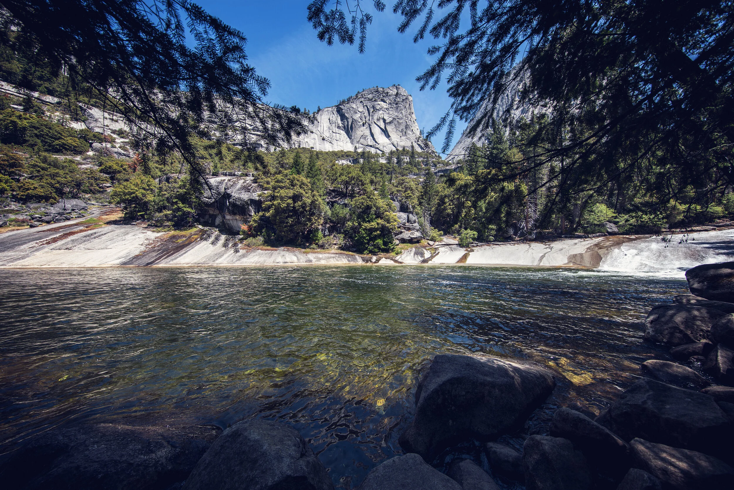
Merced River near the Mist Trail & John Muir Trail trailhead
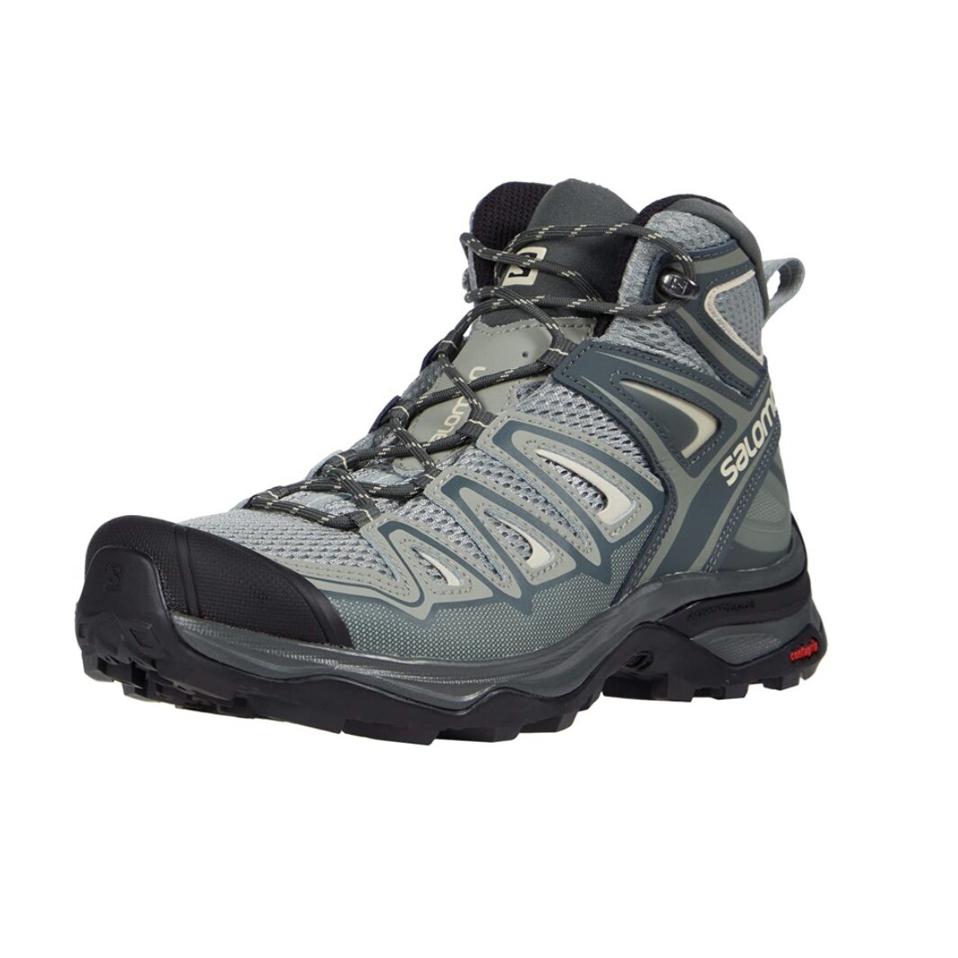
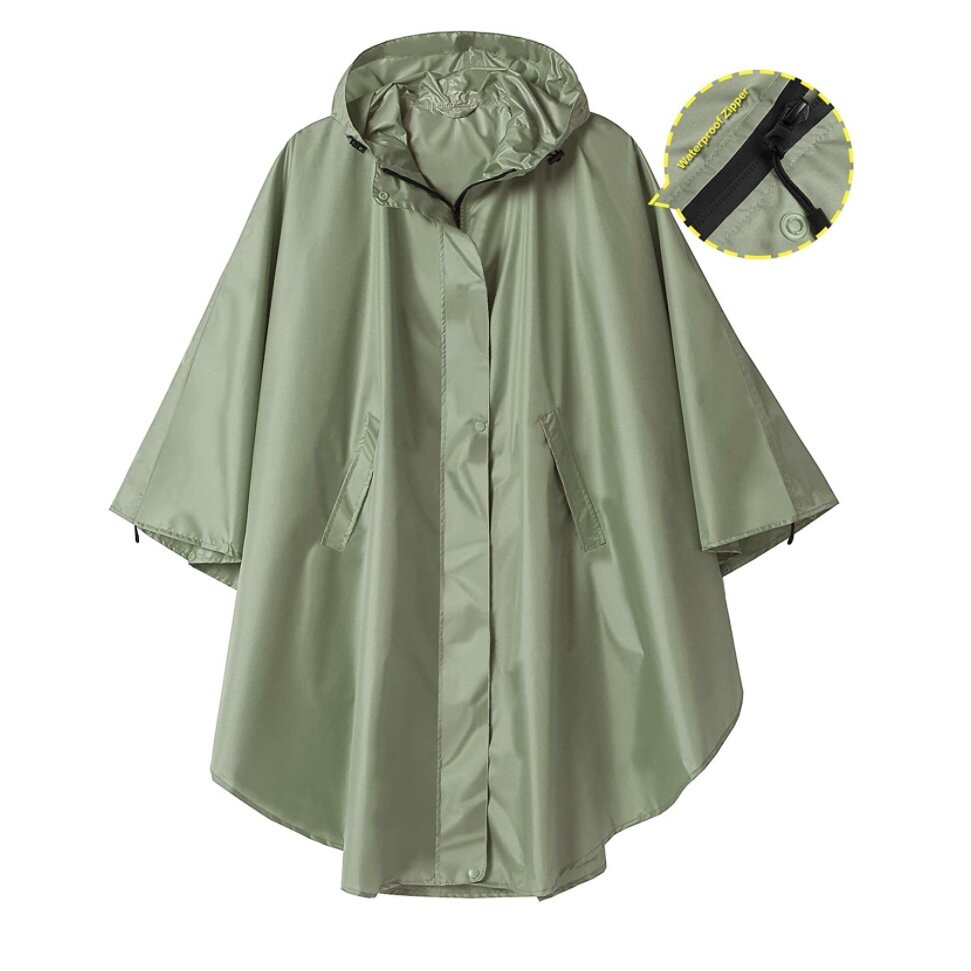
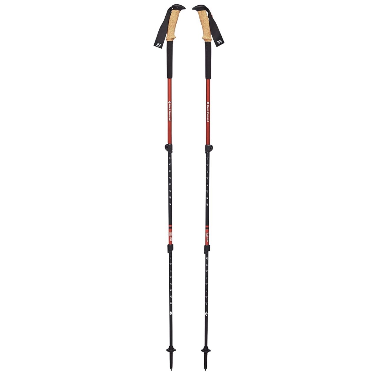
Shop the Post:


If you enjoyed this post, you might also like…


About Me
I’m Dawn Marie, a travel and lifestyle blogger based out of Southern California. With in-depth articles, travel guides, and reviews on hotels & products, I seek to share my journeys to help you plan for your own. My adventures take me all over California, the western United States, and around the globe...and every Monday I post new content here, including a comprehensive blog post and YouTube video.
Search the Blog
Featured Posts


Etsy Shop

Planning a trip to Yosemite, Sequoia, or Kings Canyon in 2026? This guide breaks down how the new National Park entrance fees and nonresident surcharges impact your visit, plus what U.S. travelers need to know about annual passes, digital passes, fee-free days, and park access. Learn how these updates affect gateway communities like Oakhurst and Visalia and how to support them during your trip.