Hermit Road Viewpoints in Grand Canyon National Park

This week we’re heading out in search of the amazing canyon viewpoints along Hermit Road in Grand Canyon National Park. Join me as we visit every overlook along this iconic and historic road.

Clifftop view near Hopi Point in Grand Canyon

Grand Canyon views from Powell Point along Hermit Road
Location and Access
Hermit Road is located on the west side of the Village Historic District along the South Rim of the Grand Canyon. This 7 mile stretch of road has 9 official viewpoints and countless other clifftop overlooks that rival almost any others inside the park, making it a favorite for park visitors. Due to its popularity, the road is closed to private vehicles between March and November, so from Spring through Fall you must access these viewpoints either by hiking, biking, or taking the free NPS Red Shuttle (Hermits Route) to any of the stops here. For full details on the shuttle service and running times, check out the official NPS site here. Below we will visit each of the official viewpoints at each shuttle stop…let’s go!

Grand Canyon views from Trailview Overlook

Bright Angel Trail seen from Trailview Overlook
Trailview Overlook
Hermit Road starts at the transfer station, which is also where you can start hiking to these lookouts along the Rim Trail. From here it’s 0.7 miles to reach the first stop along our journey – Trailview Overlook. This spot gets its name from the views it offers of the famous Bright Angel Trail. Here you can see the trail head from the Village, the brutal switchbacks, and the 3000 foot descent down to Indian Garden until the trail finally disappears into the chasm below. Multiple sets of stairs lead to two main viewing platforms (with guardrail protection), along with many accessible cliff top overlooks as well. If you’re walking to this viewpoint from the transfer station, the entire path is paved.

Orphan Lode Mine remnants near Maricopa Point

Maricopa Point along Hermit Road in Grand Canyon National Park
Maricopa Point
0.5 miles past Trailview Overlook you reach Maricopa Point. This overlook posts 180° unobstructed views facing northeast, making it a popular spot for sunrise. From the cliff’s edge here you can see a section of the Tonto Trail below, a glimpse of the Colorado River, and even remnants of the old Orphan Lode Mine. This site started mining copper in the late 1800s and went on to produce rich uranium ore until 1967. If you’ve chosen to hike rather than shuttle, this overlook is also where the Rim Trail turns from a paved path to a rocky dirt one…which won’t turned paved again for another 4 miles until we reach the Greenway Trail at Monument Creek Vista.
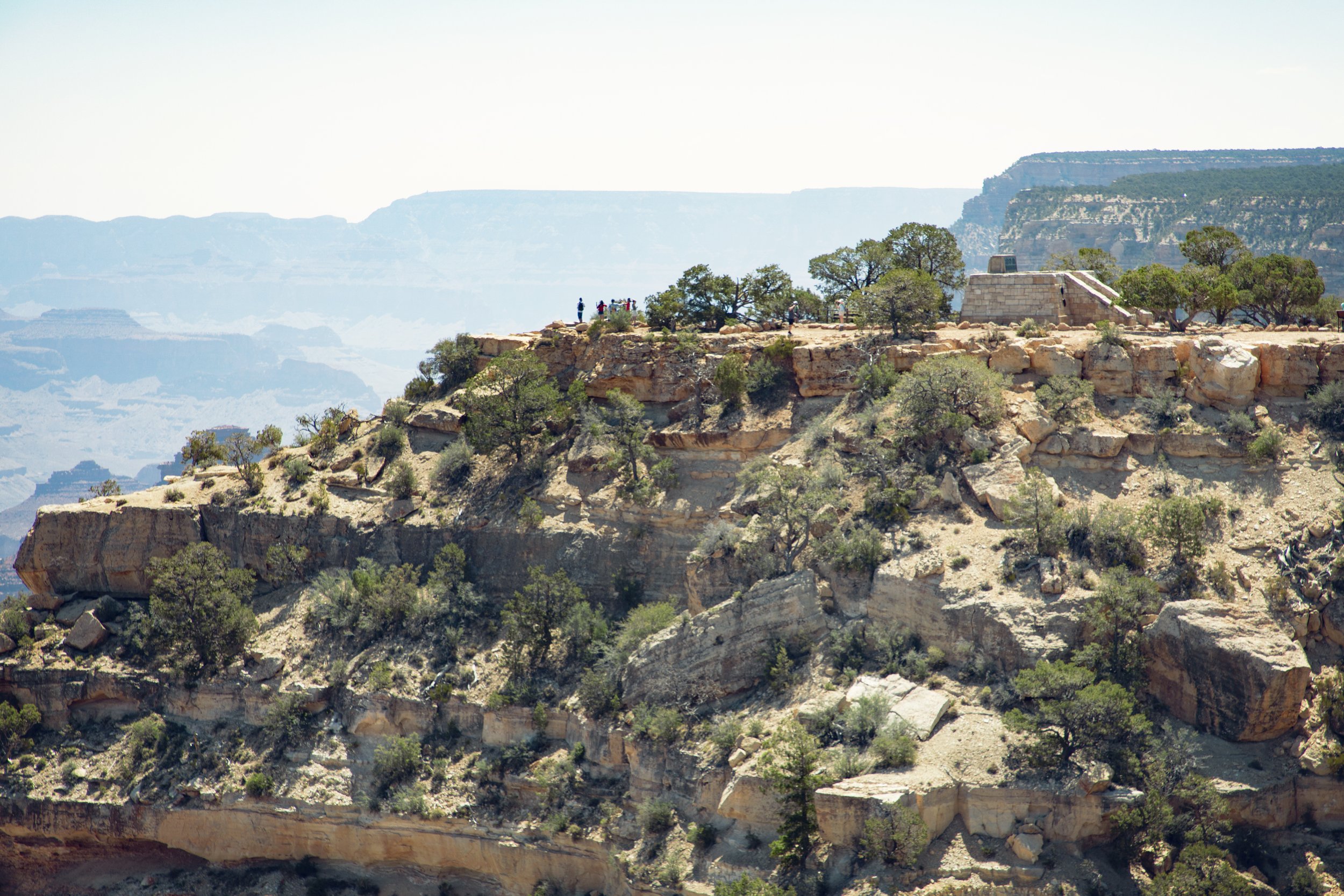
Powell Memorial and Powell Point along Grand Canyon’s South Rim

Powell Memorial along Hermit Road in Grand Canyon

Powell Memorial in Grand Canyon National Park
Powell Memorial Point
0.5 miles past Maricopa Point you reach Powell Point and the Powell Memorial built here. This overlook not only provides expansive views, it commemorates the first exploratory trips down the Colorado River by Major John Wesley Powell and his crew. The stone staircase leads up to the official memorial…and after soaking in the history, make sure to continue further out towards the point for more incredible views.

Views of the Colorado River from Hopi Point

Grand Canyon views from Hopi Point along Hermit Road
Hopi Point
0.3 miles past Powell Point is Hopi Point. Hopi Point is always a highlight along Hermit Road…the panoramic views west and east make it another go-to spot for sunrise and sunset photography. The Colorado River can be seen here to the east and restrooms are also available at this lookout point.

Mohave Point along Hermit Road

Grand Canyon views from Mohave Point
Mohave Point
0.8 miles past Hopi Point you reach Mohave Point. This viewpoint, often referred to as the “alligator,” offers spectacular views of the Colorado River far down in the canyon below, framed by unique formations like the Tower of Set in the Tower of Ra.

The Abyss along the Grand Canyon South Rim

Standing on a ledge over The Abyss in Grand Canyon
The Abyss
1.1 miles past Mohave Point is The Abyss. The Abyss showcases the longest vertical drop found anywhere along the Grand Canyon South Rim. This sheer cliff has been solely caused by gravity pulling rocks away from the wall, as opposed to fault lines and water runoff for most of the features found in the park. Backpackers often camp next to Monument Creek or on a small beach along the Colorado River at Granite Rapid, and if you look closely sometimes you can see them almost like tiny ants far below.

Helicopter tour seen from Monument Creek Vista

Monument Creek Vista along Hermit Road
Monument Creek Vista
0.9 miles past The Abyss you reach Monument Creek Vista. Not only does Monument Creek Vista have a great views of the Granite Rapids on the Colorado River, but this is also the starting point for the Greenway Trail, a paved pedestrian path which used to be a historic carriage road, heading west to Hermits Rest. There are six overlooks in addition to multiple resting areas along the Greenway Trail, and it meets accessibility guidelines for outdoor developed areas (meaning it can accommodate hikers, bicyclists, and visitors using wheelchairs).
Colorado River seen from Pima Point

Pima Point along Hermit Road in Grand Canyon
Pima Point
1.7 miles past Monument Creek Vista you reach Pima Point. This overlook is one of the best places to see and sometimes even hear the Colorado River and its roaring rapids below. On quiet days you can hear the rapids echoing up the canyon walls. The Greenway Trail continues from here to Hermits Rest, which allows bicyclists and park guests using wheelchairs to share the paved path with pedestrians. The panoramic views here are remarkable…looking east you see past Mohave Point on a clear day, and to the west is a 7,000 ft high plateau called Cataract Plains.

Hermits Rest at the end of Hermit Road
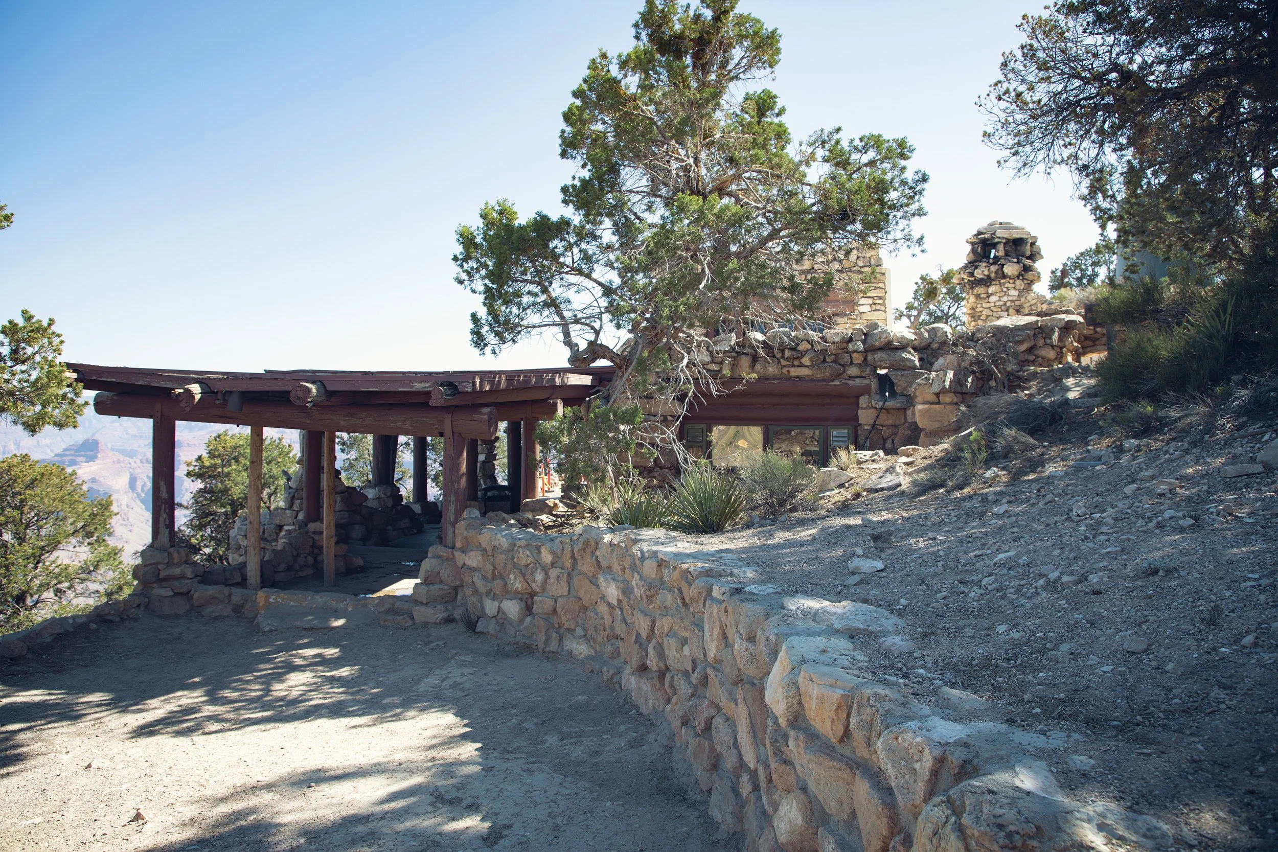
Hermits Rest historic structure designed by Mary Colter
Hermits Rest
1.1 miles past Pima Point we reach our final stop, Hermits Rest. Named after Louis D Boucher, known as the hermit of Hermit Creek Basin, Mr. Boucher was a prospector who staked claims below present day Hermits Rest. He helped carve the Rim Trail and he lived alone in this area for over 20 years. Hermits Rest also marks the western end of the 13 mile Rim Trail, as well as the start of Hermit Trail. This steep nearly 20 mile round-trip hike to the Colorado River descends down over 4,300 ft. Mary Coulter, one of the Grand Canyon’s most famous architects, designed the main Hermits Rest structure here to look like an old miner’s cabin in 1914. Today it operates as a gift shop and snack bar…or you can rest and use the restroom before heading back to the Grand Canyon Village.

Colorado River seen from Pima Point in Grand Canyon
Know Before You Go
• Many visitors take the Hermit (Red Route) shuttle bus straight up to Hermits Rest and then hiking down, but I would personally recommend hiking from the Trailview Overlook to Mohave or The Abyss if you’re visiting in the morning. These are some of the most incredible morning viewpoints, and if you hike up to Hermits Rest in the morning the sun is at your back (if you are hiking down it is directly in your face).
• For up-to-date times on the Hermit Road (Red Line) shuttle, you can always check the official NPS website. The entire trip takes approximately 80 minutes round-trip without getting off the bus, and buses stop on average every 10 to 30 minutes at each stop.
• It’s important to note that outbound buses and return buses stop in different areas, so make sure you get on the correct bus depending on where you want to go. The last return bus leaves Hermits Rest 30 minutes after sunset.
• The Grand Canyon Railway arrives in the Historic Village around noon everyday, so in the afternoon shuttle lines and most stops along Hermit Road can get very busy with park visitors. Consider planning a morning trip if you’d like to experience the quiet beauty of the Grand Canyon here without the crowds.
• The Red Shuttle service is required to visit this road between March 1st and November 30th. It’s important to note that it does not start at the Grand Canyon Visitor Center with the Purple, Orange, and Blue Lines. You must access the Red Line at the Village Route Transfer 2 miles west of the Grand Canyon Visitor Center.
• Hermit Road is open to private vehicles during the Winter months of December, January, and February when there is no shuttle service available on Hermit Road. This road can be accessed throughout the year by hikers, runners and bicyclists.
• Bicycle rentals are available at the Visitor Center Plaza, and guided bus tours on Hermit Road are offered by Grand Canyon Lodges.
Top 10 Grand Canyon Highlights
Desert View Road
Desert View Watchtower
Bright Angel Trail
Hermit Road & Hermits Rest
Ooh Aah Point
Lipan Point
Powell Memorial Point

The Abyss in Grand Canyon National Park
In Summary
Thanks so much for joining me this week in Grand Canyon National Park. For a virtual visit to these amazing Hermit Road overlooks, make sure to watch my Behind the Blog YouTube video at the top of this post. Until next week I hope you find adventure and encouragement wherever you go.

Bible verse plaque at Hermits Rest
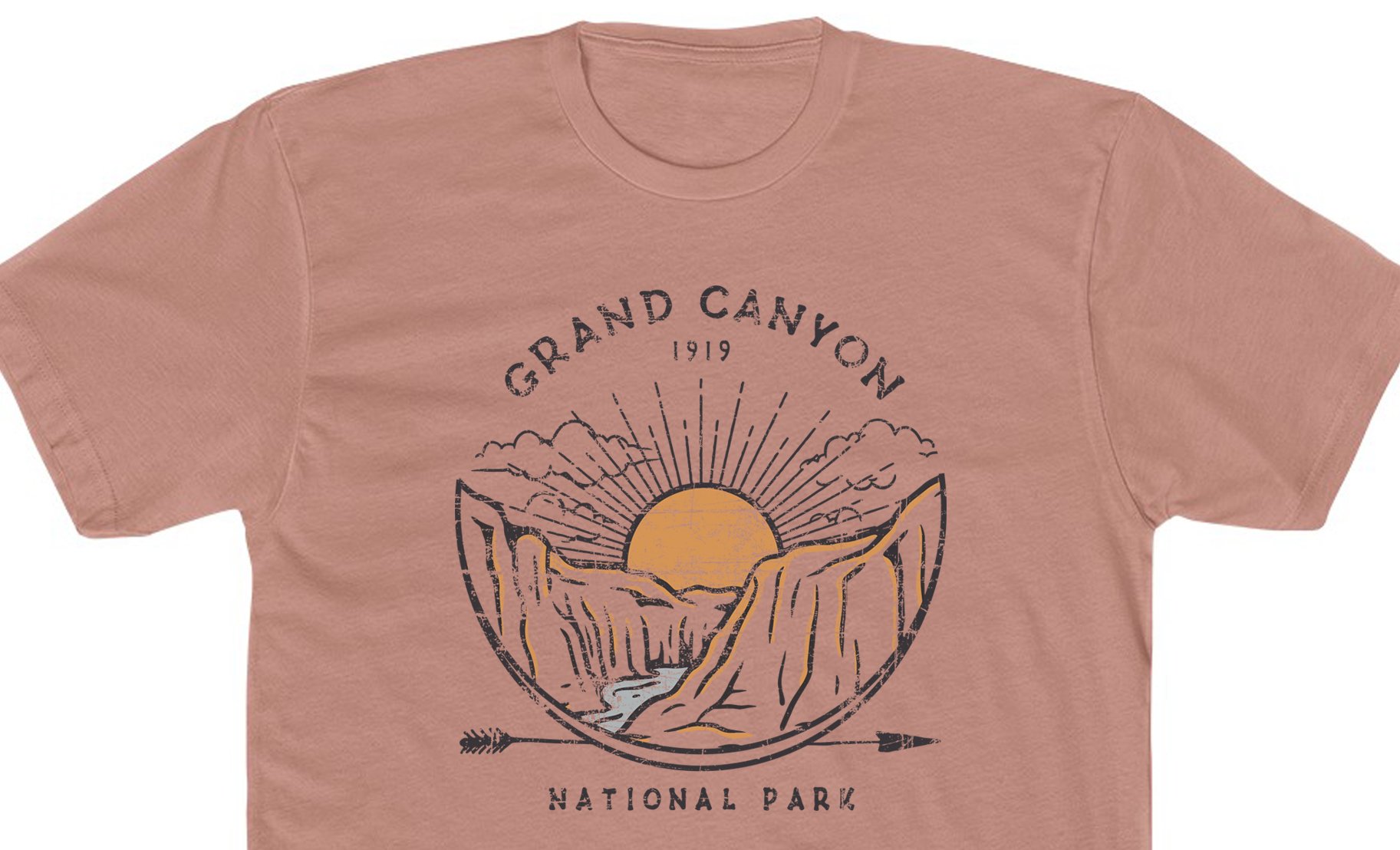
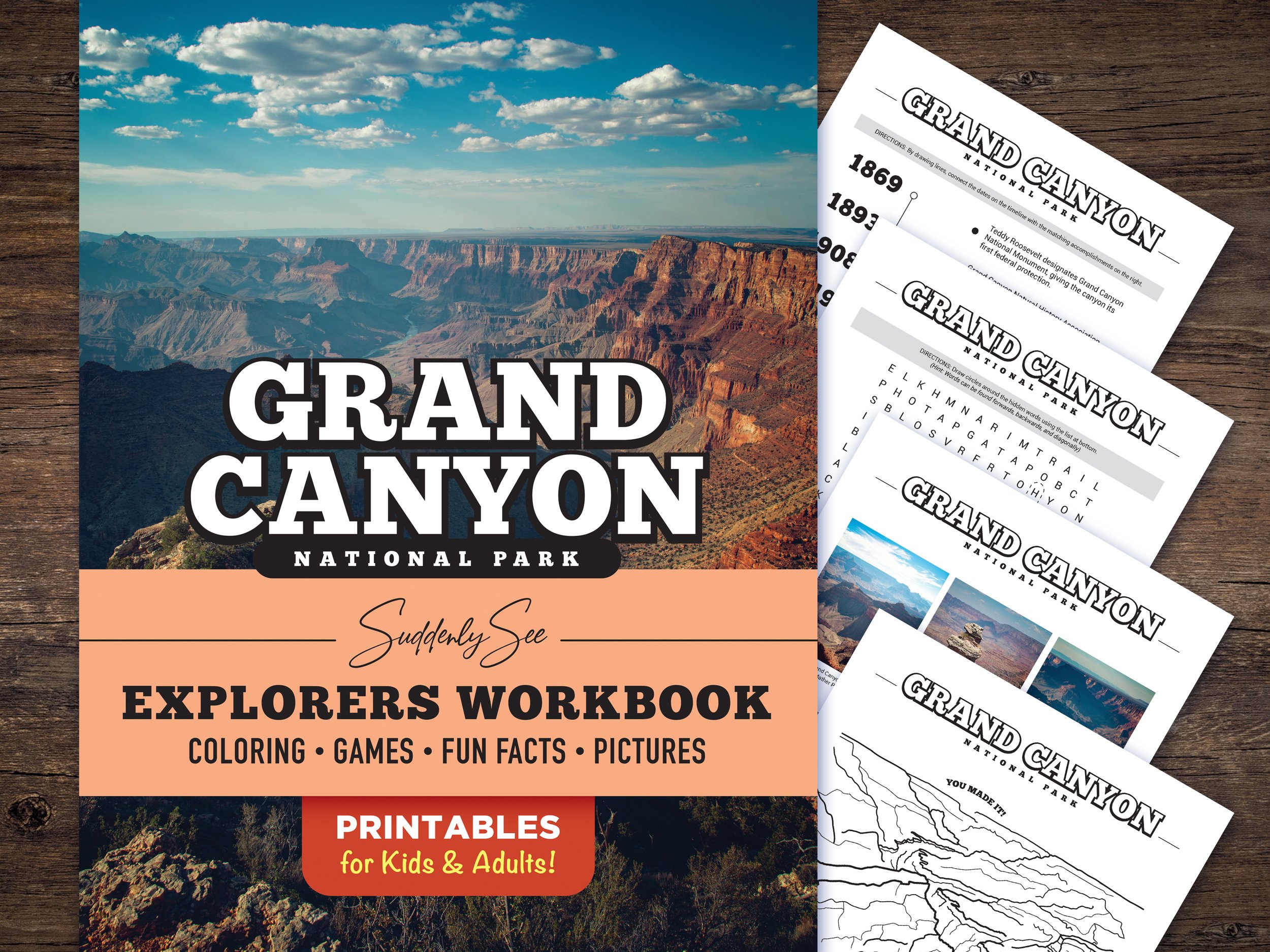
Grand Canyon Products from Our Etsy Shop


If you enjoyed this post, you might also like…


About Me
I’m Dawn Marie, a travel and lifestyle blogger based out of Southern California. With in-depth articles, travel guides, and reviews on hotels & products, I seek to share my journeys to help you plan for your own. My adventures take me all over California, the western United States, and around the globe...and every Monday I post new content here, including a comprehensive blog post and YouTube video.
Search the Blog
Featured Posts


Etsy Shop

Join me for the perfect day in Tombstone, Arizona. This top southern AZ spot is family friendly and a must see on any road trip to Tucson, Saguaro National Park, and Bisbee. A true Wild West boomtown, walk down the boardwalks of Allen Street, ride a stagecoach tour, explore a mine, walk through the Bird Cage Theater, and watch a reenactment of the most famous gunfight in the US at the OK Corral.