Devastated Area Interpretive Trail in Lassen Volcanic National Park
This week we’re in Lassen Volcanic National Park heading out on a great family-friendly hike. Join me as we explore Lassen’s Devastated Area.
FAST FACTS
• Distance: 0.5 mile
• Elevation Change: 20 ft
• Difficulty: Easy
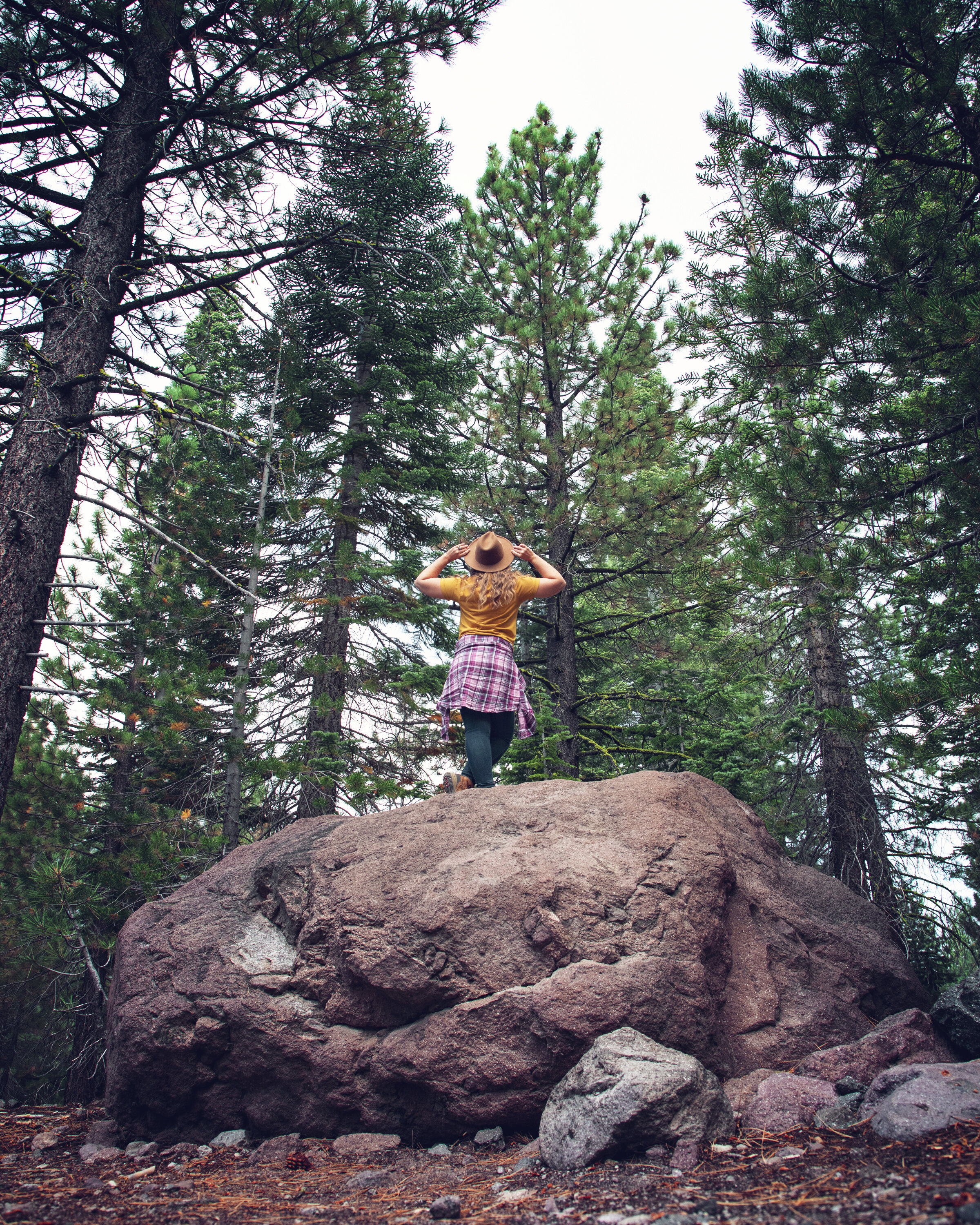
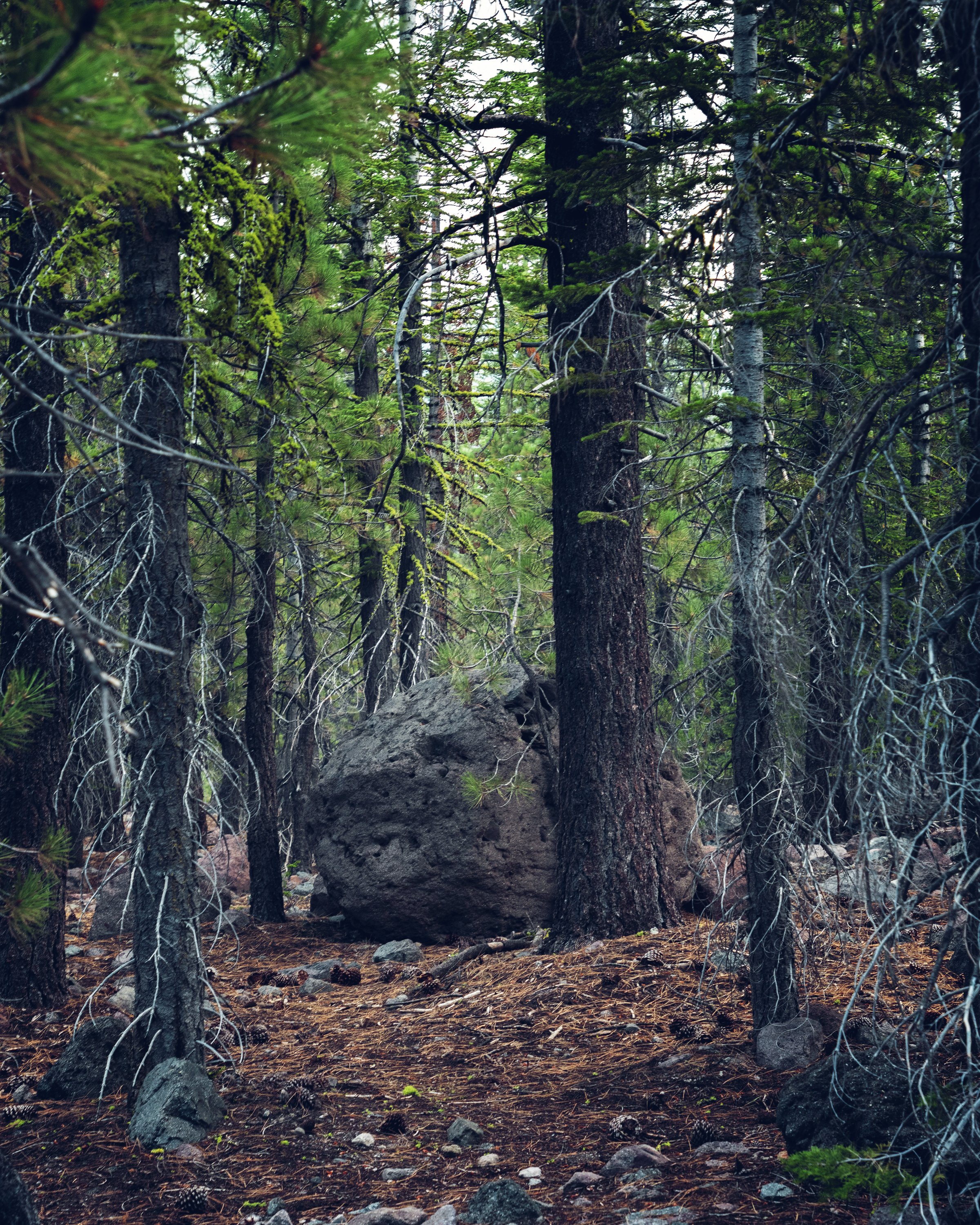
Volcanic rock along the Devastated Area Interpretive Trail
Volcanic rock debris from Lassen Peak eruption
History
This area was hit hard by the Lassen Peak volcanic eruptions from 1914-1917. The area around Cinder Cone and the Lassen Peak Trail were particularly devastated, with huge (SUV sized) boulders and lava flows covering the landscape. The eastern slope came to be known as the Devastated Area when it was left completely barren by the volcanic activity. More than a hundred years later, forest vegetation and wildlife have returned in abundance, covering much of this once barren land. However, from the small spattercones to giant volcanic boulders, this is a fascinating place to explore, especially when you consider that Lassen Peak is a dormant volcano and another major eruption could happen at some point in the future.
Devastated Area Interpretive Trail in Lassen Volcanic National Park
Hike
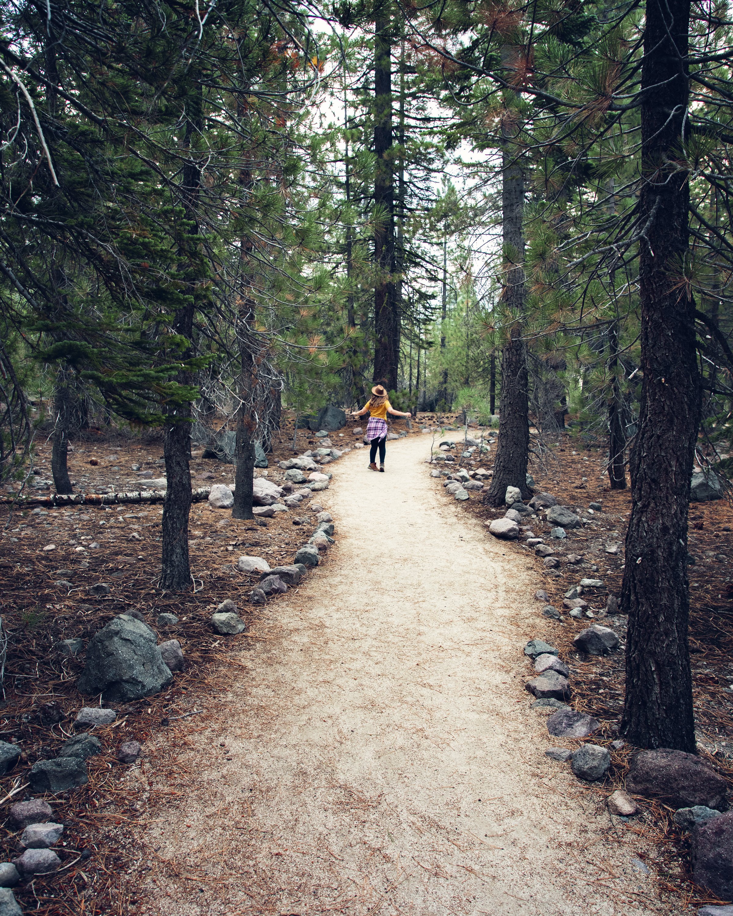
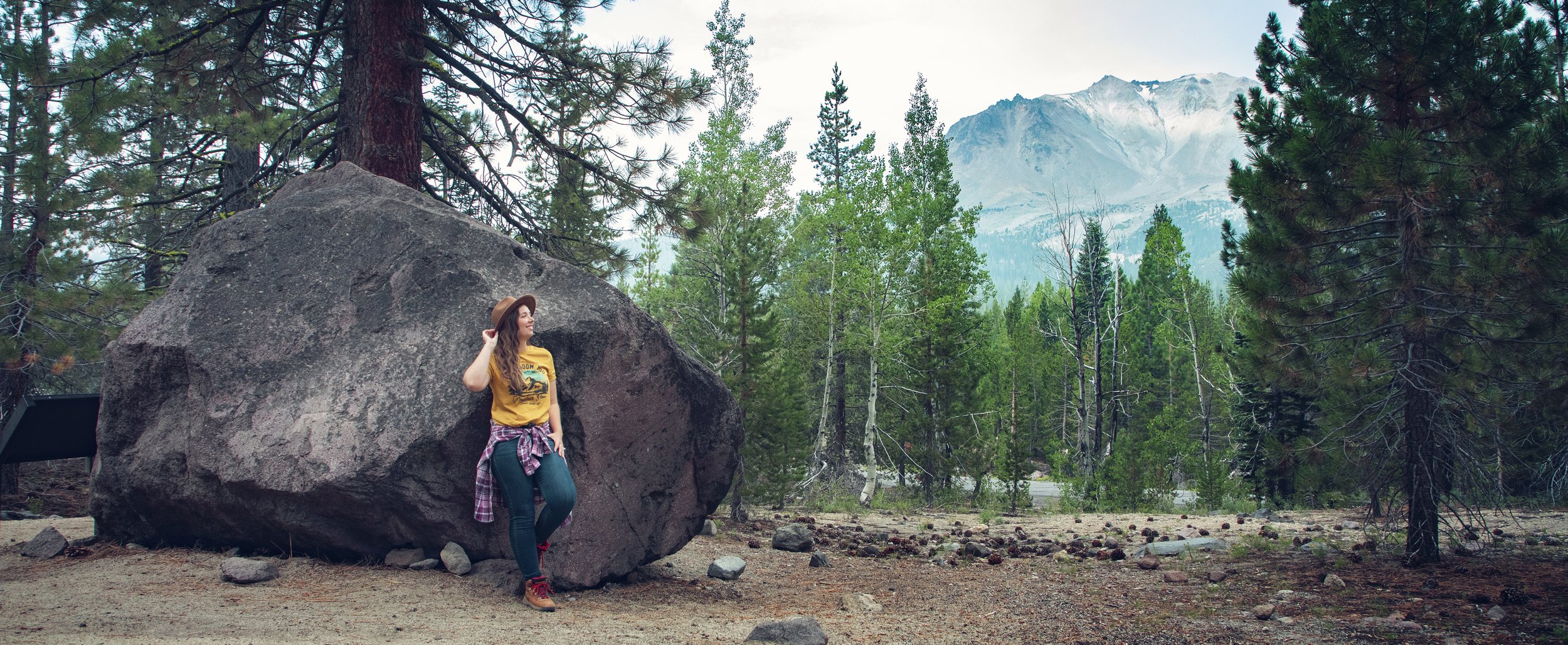
Ample parking can be found just off Lassen Peak Highway, less than 10 miles from the park’s northwest entrance. The Devastated Area Interpretive Trail is a half mile loop with less than 20 feet in elevation change. The easy packed dirt path is lined with volcanic rocks and can be explored in either direction. Interpretive panels dot the trail filled with interesting facts about the area and its history (each sign also has a push button for audio information). While this is an easy hike, it is important to stay on the marked trail here as extensive effort has been put into encouraging forest growth after the volcanic damage (as well as recent fire damage to the area). Along your walk you’ll enjoy the unique grey and pink lava rocks and the famous “Hot Rock” photographed by B. F. Loomis just days after the 1915 eruption.
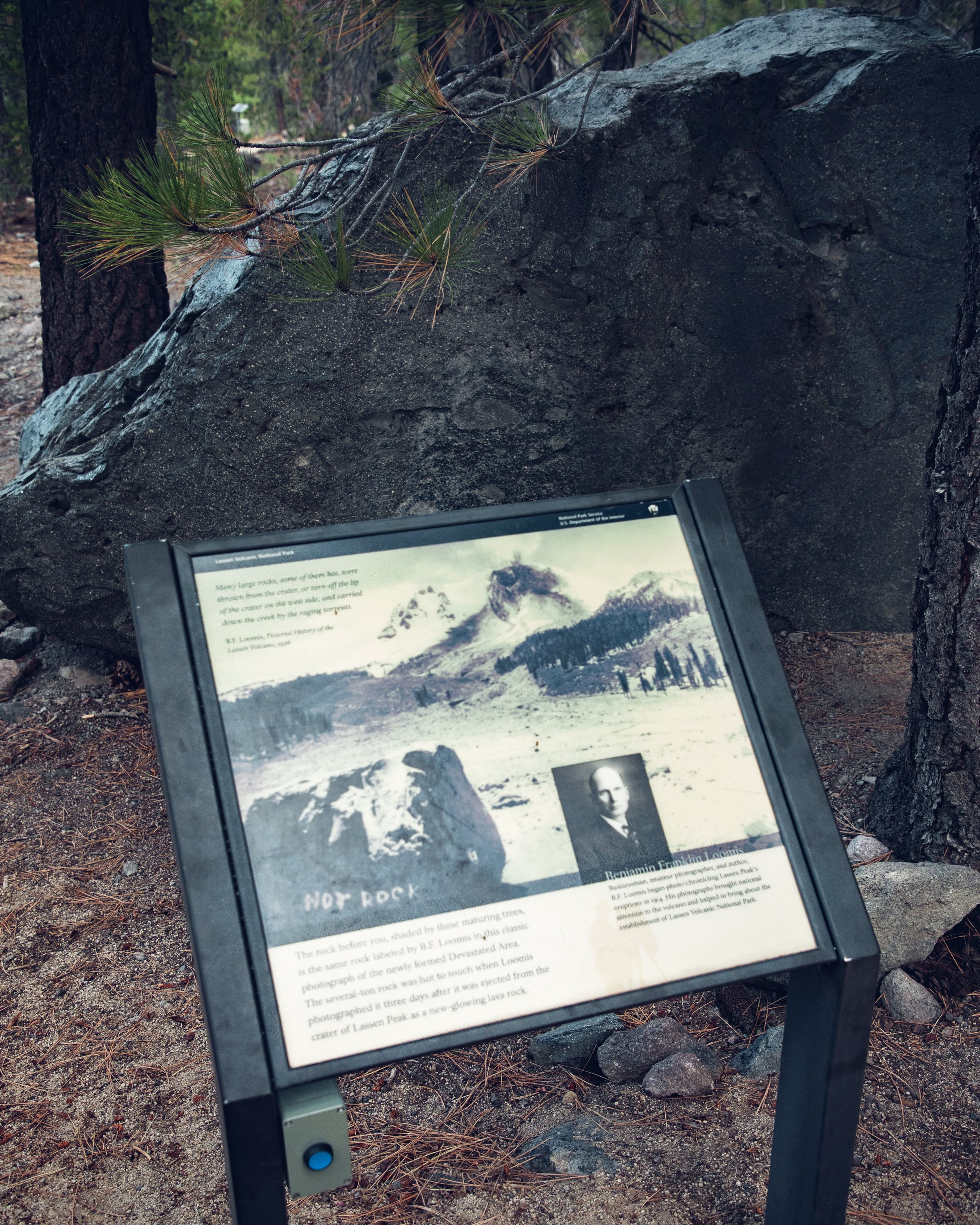
Interpretive panels along the Devastated Area Trail
Know Before You Go
• Please remember the Leave No Trace Principles on your visit to this spot, leaving it better than you found it.
• Never leave food unattended – wildlife is abundant here, including deer and black bears.
• The trail itself is not paved, but it is a very well maintained, and it will not pose many issues to those with mobility issues or wheelchairs users.
• Vault toilets and a small picnic area can be found just past the parking lot.
Top 10 Lassen Highlights:
Devastated Area
Lassen Peak
Lake Helen
Kings Creek Falls
Manzanita Lake
Cinder Cone
Volcanic rock debris in the Lassen’s Devastated Area
In Summary & Free Travel Guide
Thanks so much for joining me this week in Lassen Volcanic National Park. For a virtual visit of the Devastated Area, make sure to check out my Behind the Blog YouTube video at the top of this post. If you’re planning a visit to Lassen, you can download my FREE Lassen Weekend Top 12 Guide here, which includes detailed map and trail information, as well as links to Google and Apple Map pin locations. Until next week, I hope you find adventure and encouragement wherever you go!
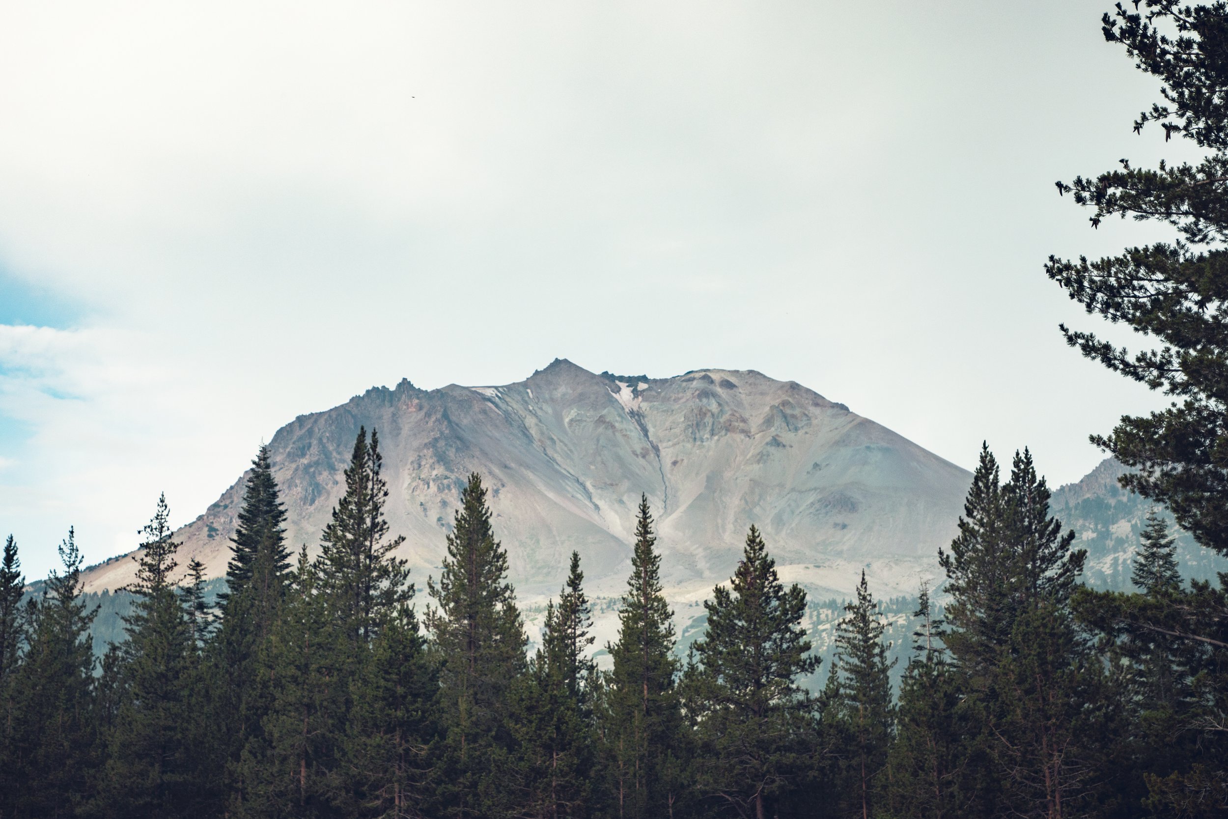
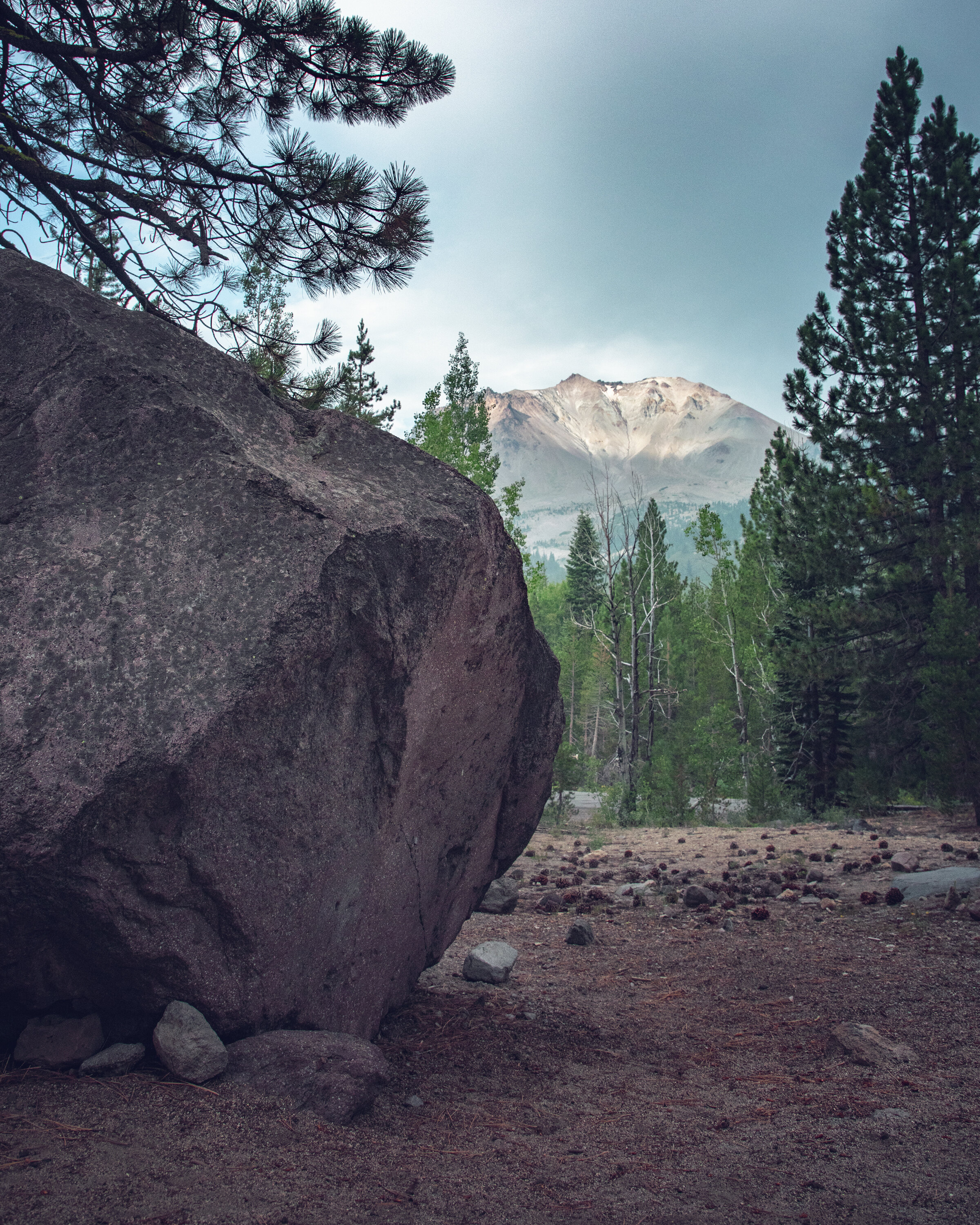
Lassen Peak seen from the Devastated Area Interpretive Trail
If you enjoyed this post, you might also like…


About Me
I’m Dawn Marie, a travel and lifestyle blogger based out of Southern California. With in-depth articles, travel guides, and reviews on hotels & products, I seek to share my journeys to help you plan for your own. My adventures take me all over California, the western United States, and around the globe...and every Monday I post new content here, including a comprehensive blog post and YouTube video.
Search the Blog
Featured Posts


Etsy Shop

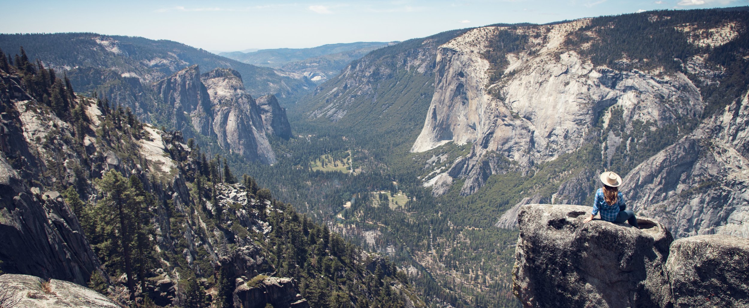
Read this Flying Dawn Marie travel guide for the best trips in California to take in 2023. Listed out in this article are 6 top road trips to take during each season, Spring, Summer, Fall, and Winter. We'll explore mountain adventures in Yosemite and Lassen Volcanic National Park, as well as beach destinations in Big Sur. We'll head to the desert to discover unique landscapes in Death Valley.